Maps and landforms
Learn how to interpret maps and how to use a compass.
Background and nature of the task
This activity is one of five activities that form part of a virtual environmental field trip to the River Teign in the county of Devon, South West England. The activities can be studied separately or together. Further information can be found in the file at the bottom of this description.
Sooner or later you will get lost if you do not have the skills necessary to understand and make the most of information in maps. This activity guides you through some of the more useful features of maps.
When you have completed this activity, you should be able to
- understand scales;
- use grid references;
- recognise map symbols;
- use contour lines;
- produce cross-sections;
- calculate gradients;
- recognize landforms from contour patterns;
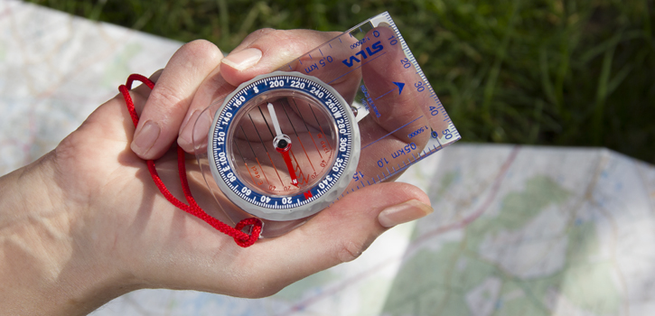
- use a compass;
- identify catchments.
Duration
This activity will take you approximately 2 hours to complete.
You are not signed in to this website. More facilities might be available if you sign in.